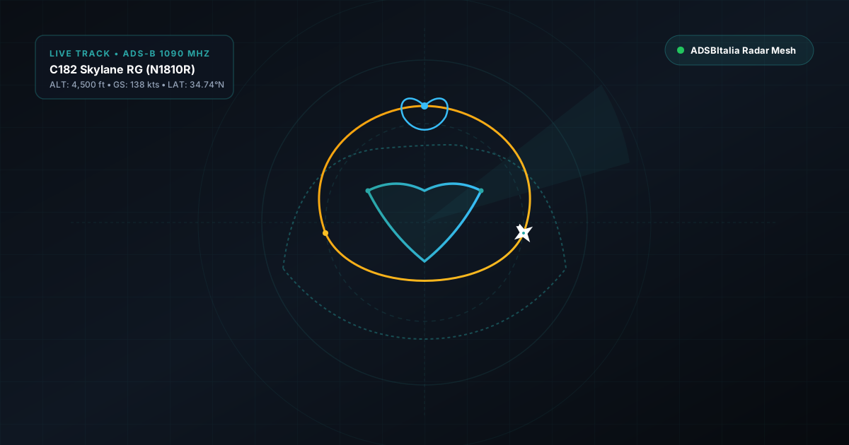
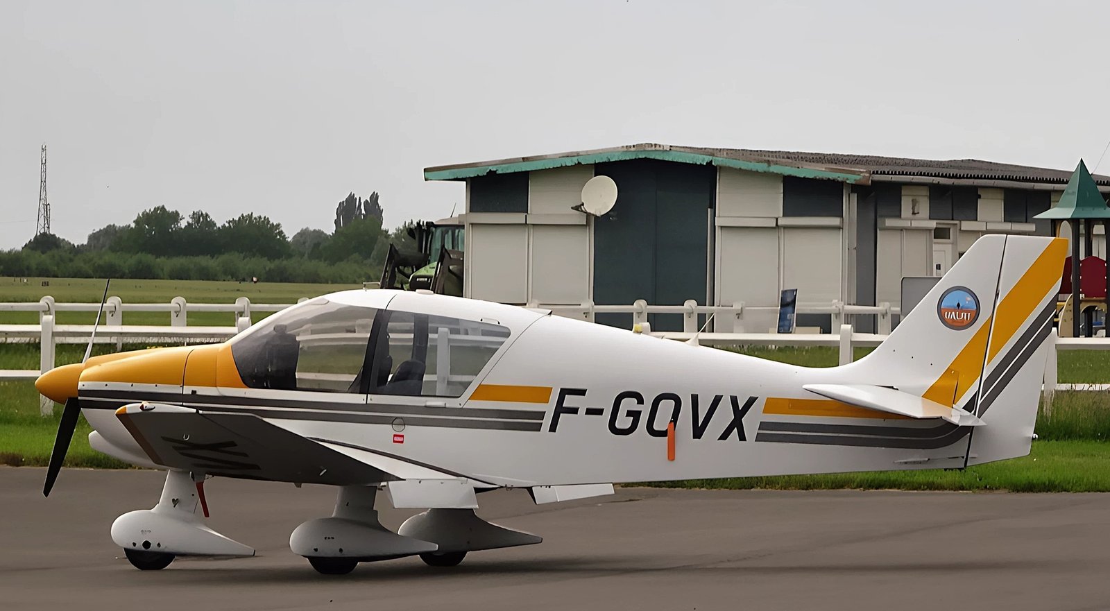
In recent years, the evolution of ADS-B receiving networks and the proliferation of air traffic monitoring platforms have transformed the sky from a mere transit route into a digital canvas. Through meticulous planning and the constant transmission of position data via the 1090 MHz transponder, pilots worldwide manage to trace complex flight paths that, when viewed on our live radar map map.adsbitalia.it, compose immense works of Sky Art.
" + "â¡ Quick Facts & Operational Data
The Mathematics of Flight: From VFR Geometry to Mode-S Telemetry
" + "Creating a drawing in the sky is never a matter of chance or impromptu maneuvers. It requires extremely rigorous Visual Flight Rules (VFR) navigation planning. The pilot converts geographic coordinates into navigation waypoints, taking into account critical factors such as high-altitude wind drift, aircraft turning radius based on True Airspeed (TAS), and bank angle. Every position update transmitted by the Mode-S transponder (averaging twice per second for airborne position messages) is captured by receivers in the ADSBItalia network, allowing the artwork to be reconstructed with stunning metric resolution.
" + "" + "Operational Parameters and Navigation Tools
To achieve clean and well-proportioned lines on the radar display, the pilot must maintain constant speed and accurately calculate turn timing. The following table illustrates typical parameters used during Sky Art missions with single or twin-engine light aircraft.
" + "| Flight Parameter | Typical Value | Technical Purpose |
|---|---|---|
| Flight Altitude (AGL / MSL) | 3,000 - 8,000 feet | Avoid commercial traffic and bypass major turbulence |
| Speed (IAS / GS) | 90 - 140 knots | Ensure constant turn radius and defined circles |
| ADS-B Update Rate | 2 Hz (2 msg/sec) | Maximize resolution of tracked points by the receiver |
| Positioning System | Dual-Channel WAAS GPS | Guarantee geometric precision below 3 meters |
*ADSB: 2024-10-15 14:32:10.450
ICAO 24-bit Hex: 48C123 | Callsign: SKYART01
Latitude: 45.4642 | Longitude: 9.1900 | Altitude: 5000 ft
Squawk: 7000 | Ground Speed: 115 kts | Track: 182.4 deg
Message Type: Airborne Position (DF17, TC=11)
The Role of the ADSBItalia Receiving Network in Artistic Tracking
" + "When an aircraft engaged in a Sky Art session flies over national territory, the density of ground receivers plays a crucial role. A well-positioned antenna configured with SAW filters and Low-Noise Amplifiers (LNA) can decode even weaker Extended Squitter packets, capturing tight turns and sudden course changes without data loss. This allows enthusiasts to follow the creation of a portrait or commemorative lettering in real time.
" + "Conclusions and Future Prospects
" + "Sky Art represents the perfect fusion of passion for flight, instrumental navigation precision, and automatic dependent surveillance (ADS-B) systems engineering. Thanks to the continuous development of radar tracking and the dedication of our community's feeders, every unusual trajectory is immortalized, turning simple telemetry data into authentic visual masterpieces.