For most pilots, the ideal flight path is the shortest distance between two points: a clean straight line calculated for fuel efficiency and on-time arrival. But for an inventive group of aviators, the sky is an expansive digital canvas, and the aircraft's ADS-B transponder is the finest paintbrush ever conceived.
When Waypoints Become Paintstrokes
Known across the flight tracking community as Sky Art, this discipline transforms precision navigation into visual artwork. While early skywriters relied on smoke trails visible from the ground for just a few minutes, modern flight-path artists design their work for open tracking networks like ADSBItalia and Flightradar24, where every turn, climb, and descent is immortalized in real-time telemetry.
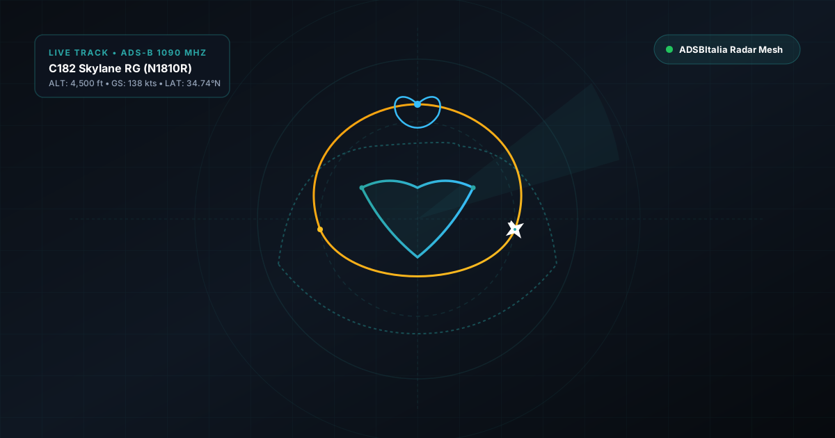
One of the most famous practitioners is general aviation pilot Benjamin McDaniel flying his Cessna 182 Skylane RG (N1810R), affectionately nicknamed The Pilot Picasso. His flights over Arkansas have mapped out astonishingly detailed portraits of Leonardo da Vinci's Mona Lisa, Edvard Munch's The Scream, and characters from classic literature—often requiring three to four continuous hours of high-concentration hand flying.
The Technical Blueprint: How It's Done
Drawing in the sky is an exercise in applied trigonometry and advanced flight management. Here is how pilots execute these aerial canvases:
- Digital Pre-Flight Planning: The artwork begins as a vector line drawing plotted on GIS mapping software. The curves and contours are converted into a sequential list of latitude and longitude GPS waypoints.
- Correcting for Wind Drift: Winds aloft at 3,000 to 6,000 feet can easily reach 20 to 35 knots. A 180-degree standard rate turn in a crosswind becomes an elongated egg shape rather than a circle unless the pilot continuously adjusts bank angle and crab heading.
- Continuous Mode-S Broadcasting: The aircraft's transponder broadcasts its position every 0.5 to 1.0 seconds over 1090 MHz. Community receiver antennas pick up these raw Beast frames, feeding them directly into MLAT and tracking engines that render the line live.
Tracking Sky Art Live on ADSBItalia
On ADSBItalia, our multi-receiver MLAT and ADS-B mesh excels at capturing these intricate turns because of our dense coverage and high position yield. When an artist executes a 50-foot radius turn or altitude step, multiple synchronized ground stations triangulate the precise trajectory without clipping corners.
The next time you see a light aircraft making repetitive, unusual loops on our live radar map, zoom in: you might just be witnessing the creation of the next great aerial masterpiece!