The Mediterranean basin is one of the most active airspace crossroads in the world. Beneath commercial airway corridors, a diverse fleet of specialized maritime aircraft operate daily—conducting search and rescue missions, environmental surveillance, and airborne logistics.
The Guardians of the Coast
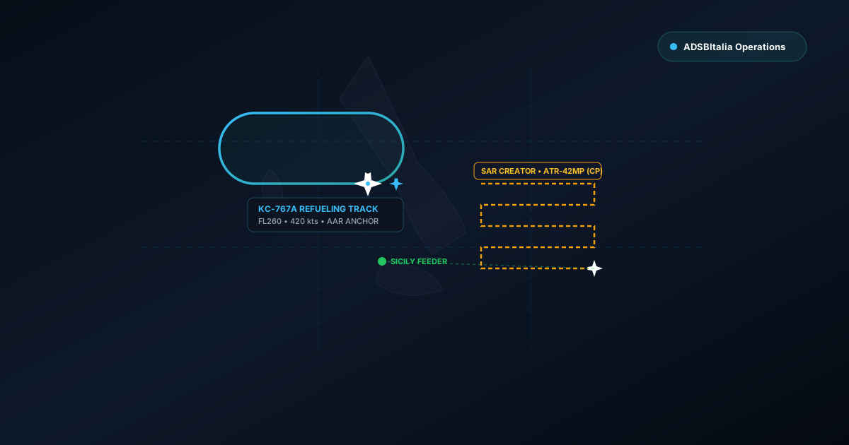
From Italian Coast Guard (Guardia Costiera) ATR-42MP and P-72B aircraft flying out of Catania and Pescara to Spanish Salvamento Marítimo CN-235s, coastal patrol aircraft fly low-altitude search grids (creeping line ahead patterns) that are fascinating to observe on radar.
Because these aircraft often operate below 3,000 feet far offshore, terrestrial radar coverage from commercial providers can drop out. This is where ADSBItalia's coastal feeder network shines: stations located on islands, peninsulas, and clifftops maintain continuous direct line of sight over open water.
Aerial Tanker Racetracks: The High-Altitude Petrol Stations
Another common sight tracked across southern Europe and the central Mediterranean are airborne refueling corridors. Aircraft like the Boeing KC-767A of the Italian Air Force and NATO Airbus A330 MRTTs establish elongated elliptical holding orbits (racetrack patterns) at flight levels between FL240 and FL280.
During these missions, fighters and patrol planes rendezvous in tight formation, transferring fuel at over 500 knots. While tactical jets frequently fly without ADS-B broadcast, the tanker's continuous telemetry clearly outlines the mission area.
Listening with VHF ACARS and HFDL
Beyond Mode-S radar packets, ADSBItalia operators also capture these flights via datalink on VHF 131.525/131.725 MHz and shortwave HFDL frequencies. Oceanic and long-distance maritime patrol craft transmit automated weather reports and position logs that bridge the gap where line-of-sight VHF fades away.